Glen Finglas, Balquhidder, Stirlingshire, Scotland.
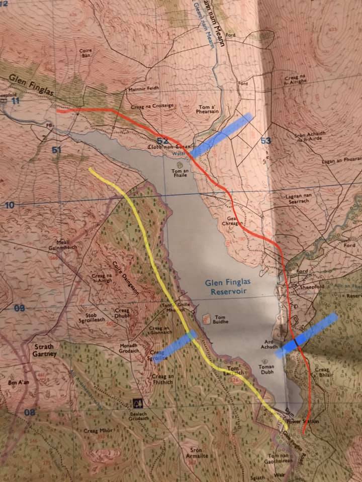
Glen Finglas on my mind. I went back up and walked on the other shore today. Oh my goodness, what a day. I have included a map. Yesterday’s walk route in yellow. Today’s rough walk route in red.
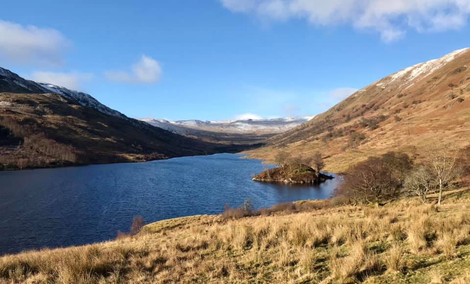
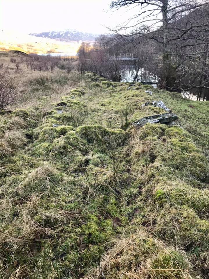
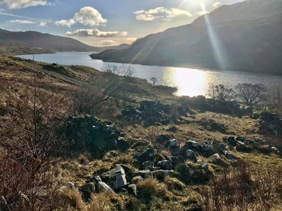
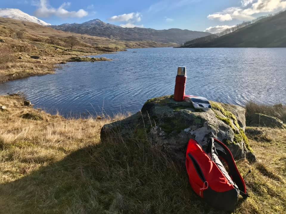
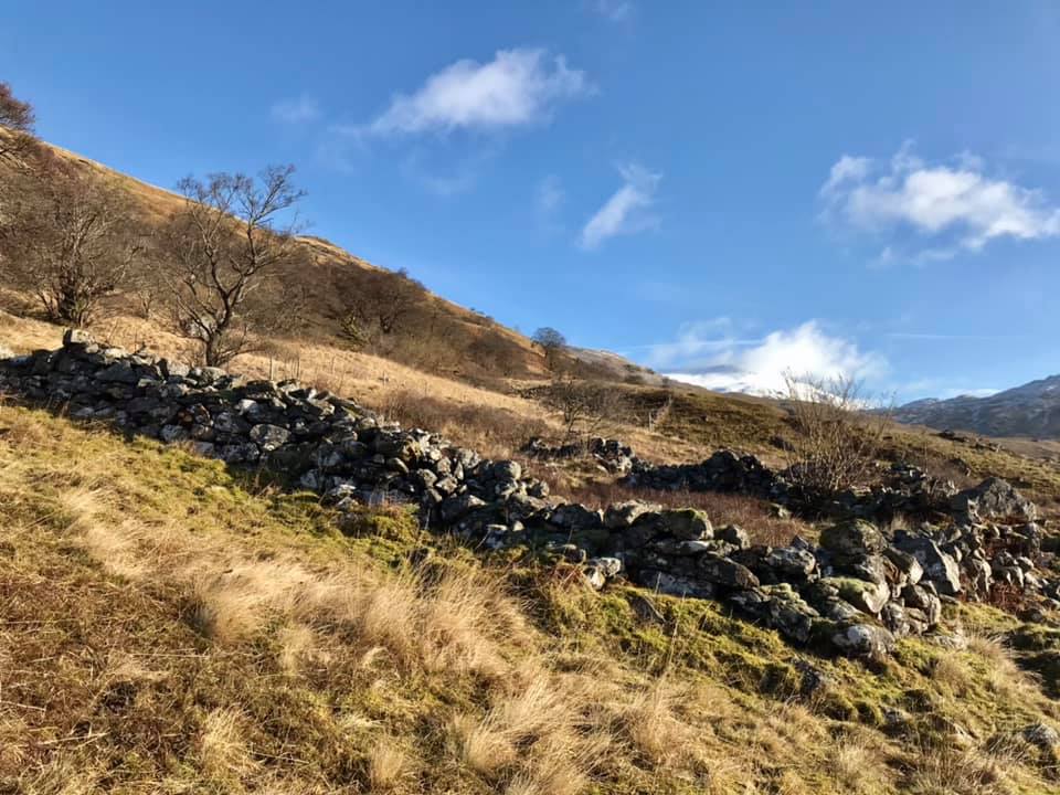
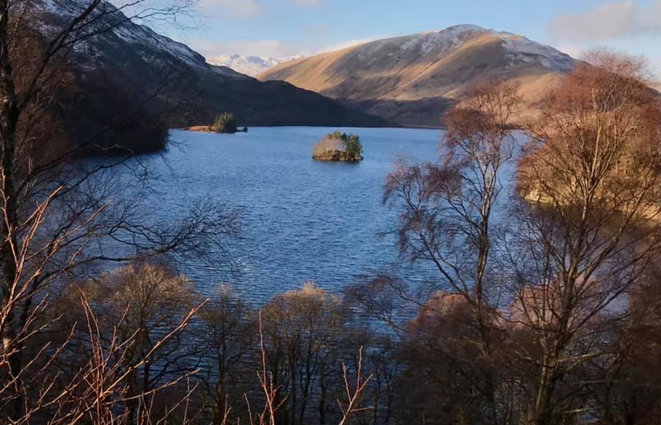
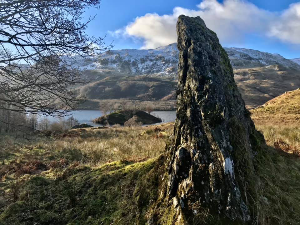
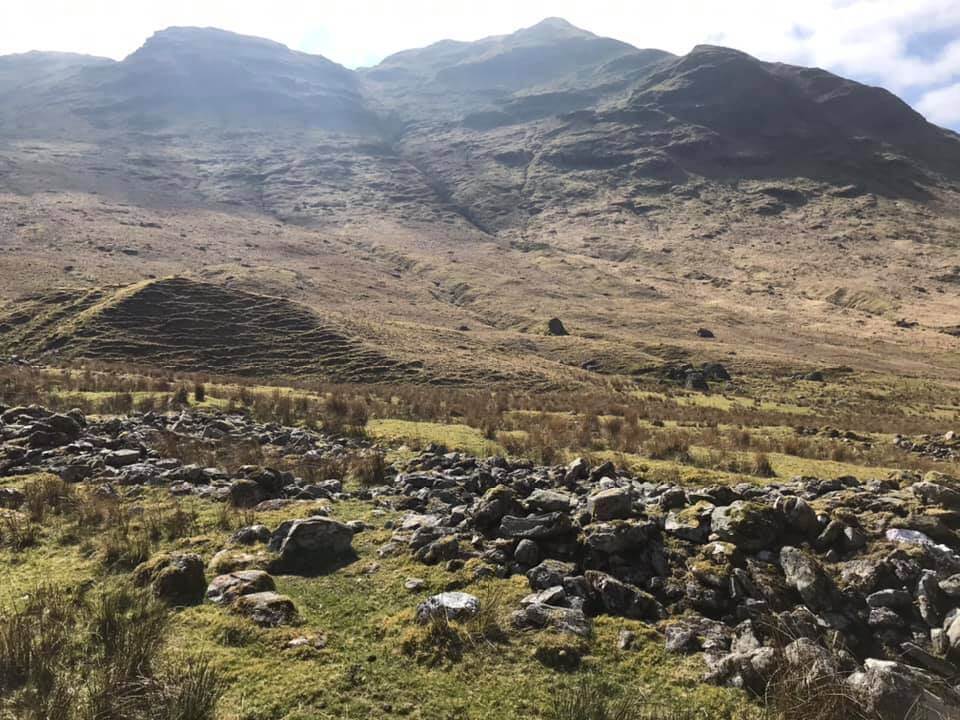
The three “islands” are marked with blue line pointing towards them. I have annotated which islands are which below the photos themselves. Lots to see on this easterly side as it had more tumbledowns and quite a lot of unexplained features not on the map. I did take a photo of a standing rock that drew my eye. It appeared to be marked on the map and is called Cladh Nan Casan. Not just a standing rock though but an entire “burying ground”.
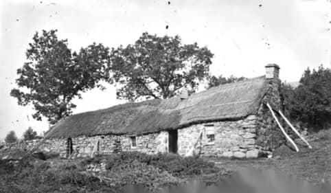
I have also since returned home and found this reference doc. Look on page 26 and the two plates thereafter. http://canmore-pdf.rcahms.gov.uk/wp/00/WP003956.pdf. No wonder I was a bit flummoxed by all the clues of past life. Apparently, it was one of the busiest Glens in the area with extensive built up areas – notably on the eastern side (where Duart and Auchnahard appear on a map) but also further north and right into the bowels of the Glen.




0 Comments