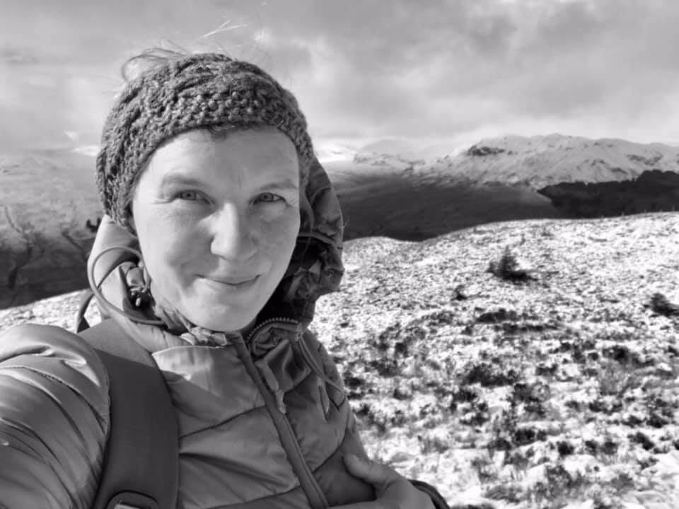
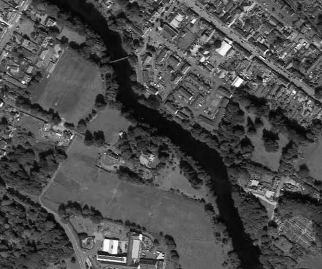
Ailsa Gray has some photos from yesterday but here is a visual idea of what we were looking for in our quest for an old road or route. Callander had a Roman camp. You can see its High Street is orientated in a certain direction. Looking at the modern OS, if you follow that orientation there are two relatively straight lines to the south east. This corresponds with the firebreak in the plantation woodland in the second photograph.
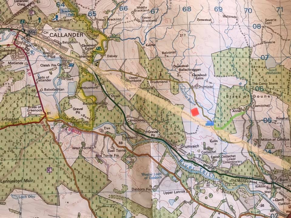
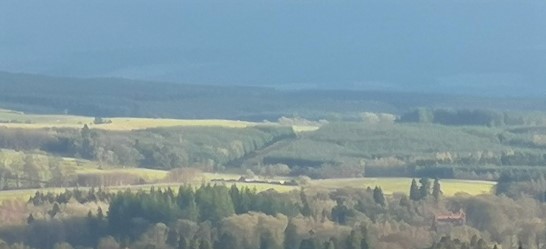
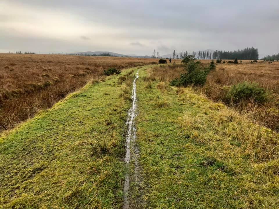
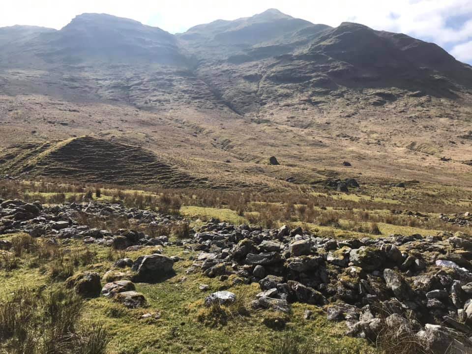
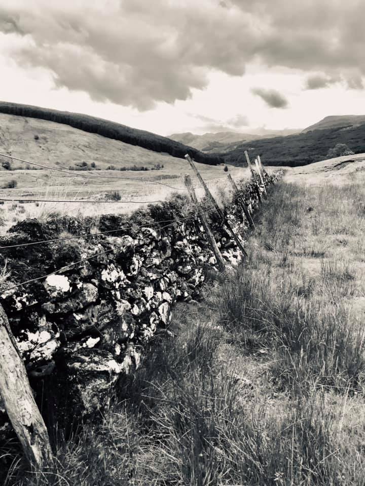
The second one of these due north of “Wester Coillechat” on the map, still looks classic Roman – ditches either side, five metres wide and convex. One of the obvious signs, Ailsa tells me, is the marked difference in vegetation either side of the road (see photo below) . I have marked Colvey/Heads in blue and Craigton in red. It may well be (and we saw evidence of this perhaps yesterday) that medieval routes used the old Roman road as a baseline and then diverged as time went on. The copse of trees on the right photograph is the site of the medieval castle of Craigton (photograph taken from the “Roman” road).
However on looking at the map today I noticed the word “Sraid” near Ballachallan and this, as a Welsh person is significant, as Stryd is Street and within my area of Wales much of the Roman road nearby was referred to as “street”. So I went hunting in one of those mammoth long place names theses that I have signposted previously.
http://theses.gla.ac.uk/2685/1/2011mcnivenphd.pdf and found a definition of Sraid in there. Not only that but I got completely sidetracked by looking at the “first mentions” of some of the place names around Balquhidder (the thesis focuses on Menteith but includes Kilmadock in there).
A sample of a few:
Argaty 1451
Ballachallan 1565
Annat 1508
Calzibohalzie 1451
Milton of Cambus (formerly Cambus of Edward) 1451
Lanrick 1317
Torrie 1317
Coillechat 1508
Doune 1317
Would love to know more about a place called Eglisdisdane too.

0 Comments